
Long tradition of floristic mapping
In a comparatively small area, a remarkable diversity of landscape forms as well as geological and climatic conditions can be found in Baden-Württemberg.
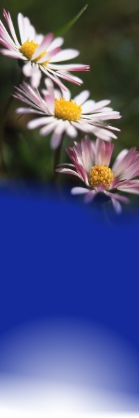
This diversity in combination with the millennia-long, small-scale very heterogeneous history of anthropogenic use has led to a remarkably diverse flora.
Currently, about 3000 established wild plant species occur in Baden-Wrttemberg. Possibly this unusual floristic diversity has also led to first floristic
studies already in the 16th century. Since then, floristic mapping campaigns have been conducted more or less continuously in Baden-Württemberg.
The current mapping campaign
The first round of the current floristic mapping campaign of Baden-Württemberg began in 1970 and was completed in 1998 with the publication of the eighth volume
of the "Farn- und Blütenpflanzen Baden-Württembergs" (Seybold et al. 1990-1998). Mapping is done using a grid at quarter of Messtischblätter (1:25000 topographic map)
quadrant level and is largely conducted by citizen scientists. Due to the increasingly rapid changes in native flora that became apparent in the 1990s, the second round
of mapping was started in 2008 and will end in late 2023. From 2012 onwards, the change in the distribution of plant species has been shown on digital maps,
which are continuously revised and updated. Since the beginning, the mapping has been organized by the State Museum of Natural History Stuttgart (SMNS) and is
financially supported by the Landesanstalt für Umwelt Baden-Württemberg (LUBW), for which we are very grateful.
What is next?
In order to be able to document the rapid changes in the distribution of many species due to climate and land use change, the start of a third round of mapping is planned
for 2024. Currently, preparations for this third round are underway in cooperation with the Botanische Arbeitsgemeinschaft Südwestdeutschland e.V. (BAS) and the Landesanstalt
für Umwelt Baden-Württemberg (LUBW). Additional volunteers are very welcome for the third round of mapping. Interested people can obtain information and register with Cornelia
Krause (Tel. 0711/8936-204, floristische.kartierung[at]smns-bw.de).
What happens with the collected data?
In addition to the publication of the data as a book and on digital maps, they are used to create regional red lists and management plans for endangered species. As part of a
research offensive, the state of Baden-Württemberg has also funded two scientist positions at the State Museum of Natural History in 2022, which will primarily analyze the
collected floristic data and publish the results in the form of scientific articles in national and international journals. The results of the planned analyses are ultimately
to be incorporated into the creation of management and protection concepts for habitats and species in Baden-Württemberg.
Dr. Mike Thiv (SMNS)
|
|
To cite:
WÖRZ, A.; VOGGESBERGER, M.; KRAUSE, C.; Bildstein, U. & M. THIV (2025): Aktuelle Verbreitungskarten der Farn- und Blütenpflanzen Baden-Württembergs. http://www.flora.naturkundemuseum-bw.de
|
|
All rights reserved. It is not allowed to change and distribute the website in any way using electronic, mechanical or other systems
without written permission. In particular the rights of reproduction are reserved against photomechanical or similar means, of presentation, of
storage in data processing systems or other processing - even of parts of the websites.
Translated by Danielle Kerr
|
|

Layout & Design © by Samuel Hoffmeier